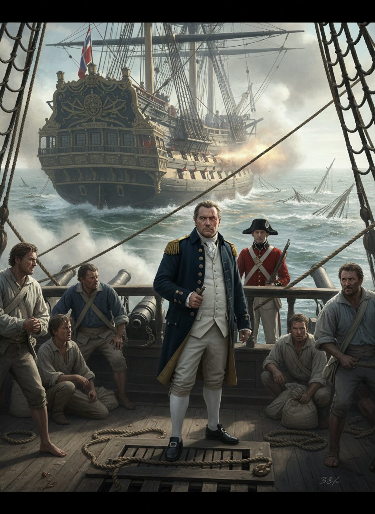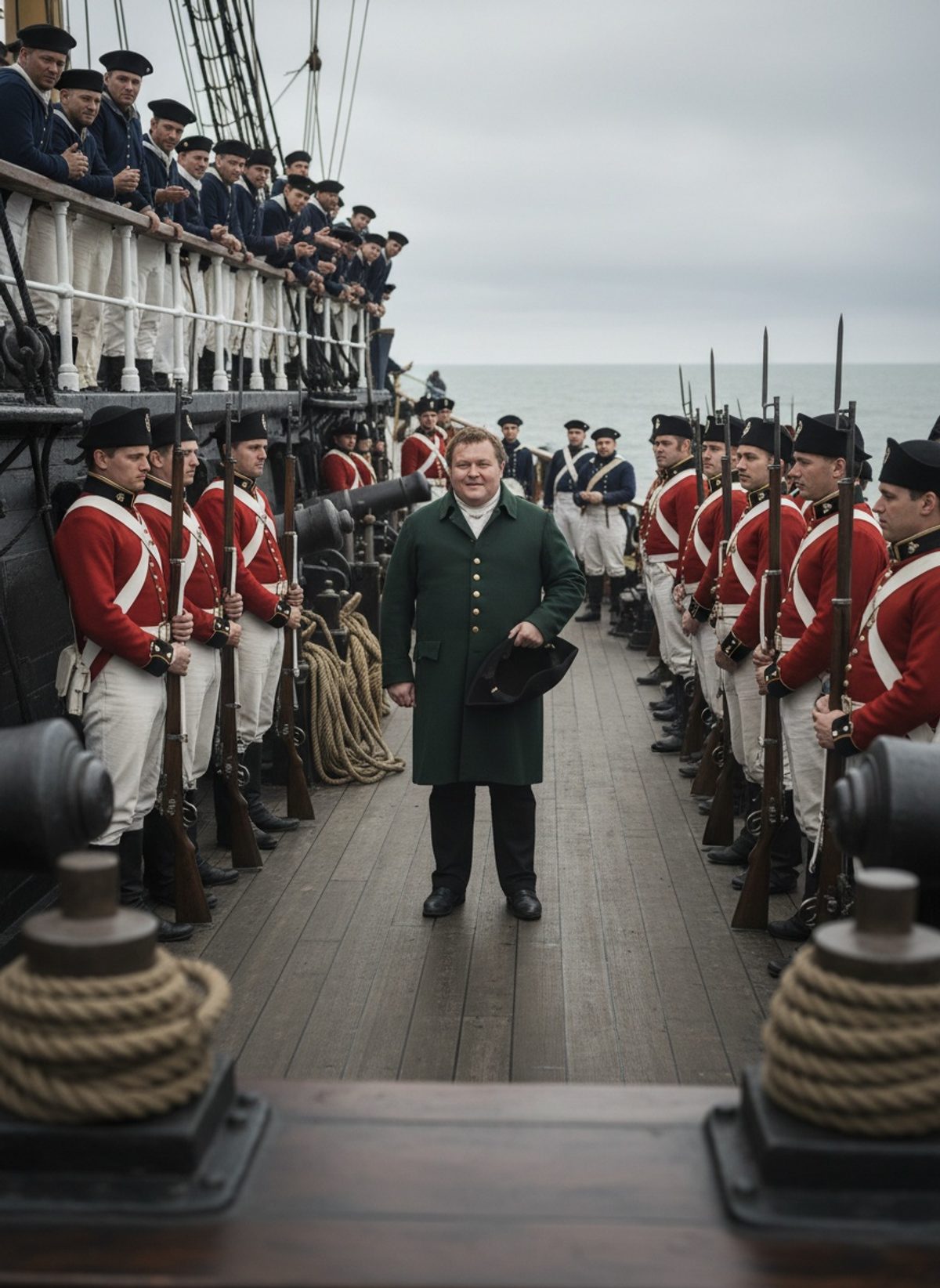
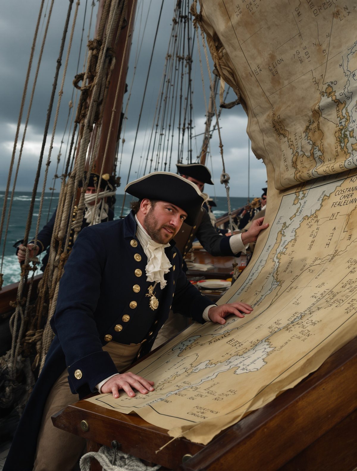
In the year 1800, in the heart of the Georgian Era, a lone ship battled the hostile waters of Australia's southern coast. Beneath a sky fracturing with gales, an intrepid British naval officer faced two relentless adversaries: the treacherous sea and his own disintegrating vessel. In these perilous conditions, Matthew Flinders and his crew navigated unknown waters to produce some of the most precise maritime charts of their time. This is the untold story of the day a dying sailor charted the world’s most dangerous coast with sheer tenacity and courage.
Setting Sail into the Unknown
At just 26 years old, Matthew Flinders was already an accomplished mariner. Born into a modest family in Donington, Lincolnshire, his fascination with the sea led him to join the Royal Navy at merely 15. His passion for exploration mirrored the ambitious spirit of the era — a time when the final blank spaces of the world map awaited discovery.
In July 1800, aboard the HMS Investigator, a beleaguered 334-ton vessel, Flinders set sail from England towards Terra Australis, as the continent of Australia was known to Europeans. The voyage was tasked with a daring mission: to map the uncharted southern coast. It was a venture that would test both crew and craft beyond their limits.
The Leaky Hull of Desperation
From the outset, problems plagued the Investigator. The ship, originally constructed as a merchant vessel over a decade earlier, had been hastily refitted for the Royal Navy. As Flinders soon found out, its hull was in a state of debilitating decay. Unforeseen leaks sprung at every seam, demanding a constant, exhausting struggle against the ingression of water.
Read next: The Day a British Captain Stood Between Slaves and the Sea
The crew's fight against the leaky vessel was relentless. Flinders organized shifts that stretched into day and night. With men working tirelessly at the pumps, the fear of their home looming beneath the sea was constant, lending urgency to their every effort. At one point, the ship’s carpenter remarked that ironing a pair of breeches was less of an undertaking than trying to patch the Investigator.
Precision Amidst the Tempest
Despite the hardships, the crew's determination yielded impressive results. Flinders, guided by his relentless zeal and the talents of an expert crew, managed to conduct detailed surveys of the unknown landscapes they encountered. The accuracy of their charts was astounding — a testament to Flinders' remarkable skills and laser-focused dedication.
One particular challenge was Cape Leeuwin, located off the southwestern tip of Australia. Known for its harsh weather and tricky currents, this area demanded absolute precision and courage. Flinders noted in his journals how the fierce winds ripped through the sails and rain lashed across the decks. Yet, amidst such chaos, he and his men meticulously recorded the coastlines with an accuracy that would define Australian maritime maps for generations.
A Series of Miraculous Escapes
Astonishingly, the Investigator managed to skirt disaster at numerous turns. On several occasions, the ship came perilously close to destruction. Off the coast of Encounter Bay, Flinders had a hair-raising moment when a rogue wave almost capsized the vessel. Yet, each time the sea threatened to claim them, Flinders and his crew fought back with stubborn resolve.
In 1802, disease compounded disaster as the crew’s health faltered. Scurvy took its toll, draining strength and morale as fresh provisions became scarce. Despite the dwindling health of his men, Flinders pressed on with unmatched vigor, committed to completing the charts and tasks bestowed upon him. His leadership held the crew together, even as sickness lined the decks with weary men.
The Triumph of Tenacity
After nearly three arduous years, the journey drew to a close. The Investigator, held together more by willpower and desperation than sturdy timber, limped back into the English Channel. Though the voyage had pushed them to the brink, Flinders' mission was a resounding success. The charts he painstakingly crafted became invaluable to future navigators. These records, detailing over 3,000 miles of previously unknown coast, stood the test of time far longer than the ship which birthed them.
The strategic significance of Flinders' charts cannot be overstated. With Europe's eyes firmly set on expanding trade routes, these maps opened new maritime pathways and forged a greater understanding of the southern hemisphere's complexities. In the world of seafaring, this expedition redefined the limits of human potential when faced with the forces of nature and decay.
A Legacy of Exploration
Matthew Flinders' harrowing journey along Australia's southern coast serves as a testament to the indomitable spirit of exploration and the relentless pursuit of knowledge. His work, born out of adversity and accompanied by tales of miraculous survival, laid the foundation for modern cartography in the region.
In today's world, where satellite technology and GPS chart our every move, the courage and tenacity displayed by Flinders remind us of the rich history behind the maps we take for granted. His story underscores the importance of perseverance in the face of overwhelming odds and continues to inspire explorers of all kinds to this day. Without Flinders’ fearless contributions, the world might look very different indeed.