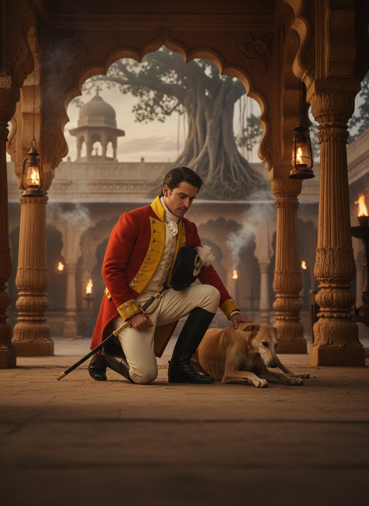
Colonel Thomas Montgomerie wasn't a typical Victorian explorer. This man sent schoolteachers where soldiers dared not tread.
The Unlikely Spy
Amidst the raw wilderness of the Victorian Great Game—a geopolitical chess match between the British and Russian empires—emerged an unexpected figure. His name was Nain Singh, a simple schoolteacher from the mountainous terrains of Kumaon in northern India, chosen for one of the most audacious missions of the 19th century. The terrain he was to navigate had swallowed even the bravest of explorers, remaining as mysterious and impenetrable as the myths that swirled around it. Yet, Nain Singh was equipped not with muskets and maps, but with wits and guile shaped by a landscape that balanced on the edge of myth and reality.
Tasked by Colonel Montgomerie of the British Survey of India, Nain Singh was to infiltrate the secretive world of Tibet—a land shrouded in mystery, forbidden to outsiders with its closely guarded borders. But how does one prepare a man for such a venture where conventional tools would arouse suspicion? Montgomerie and his team devised an ingenious method: Singh would count every step he took. This seemingly impossible task was accomplished with the aid of modified Buddhist prayer beads. Far from sacrilegious, the beads became symbols of an exploration rooted in stealth and respect.
The Pilgrim's Path
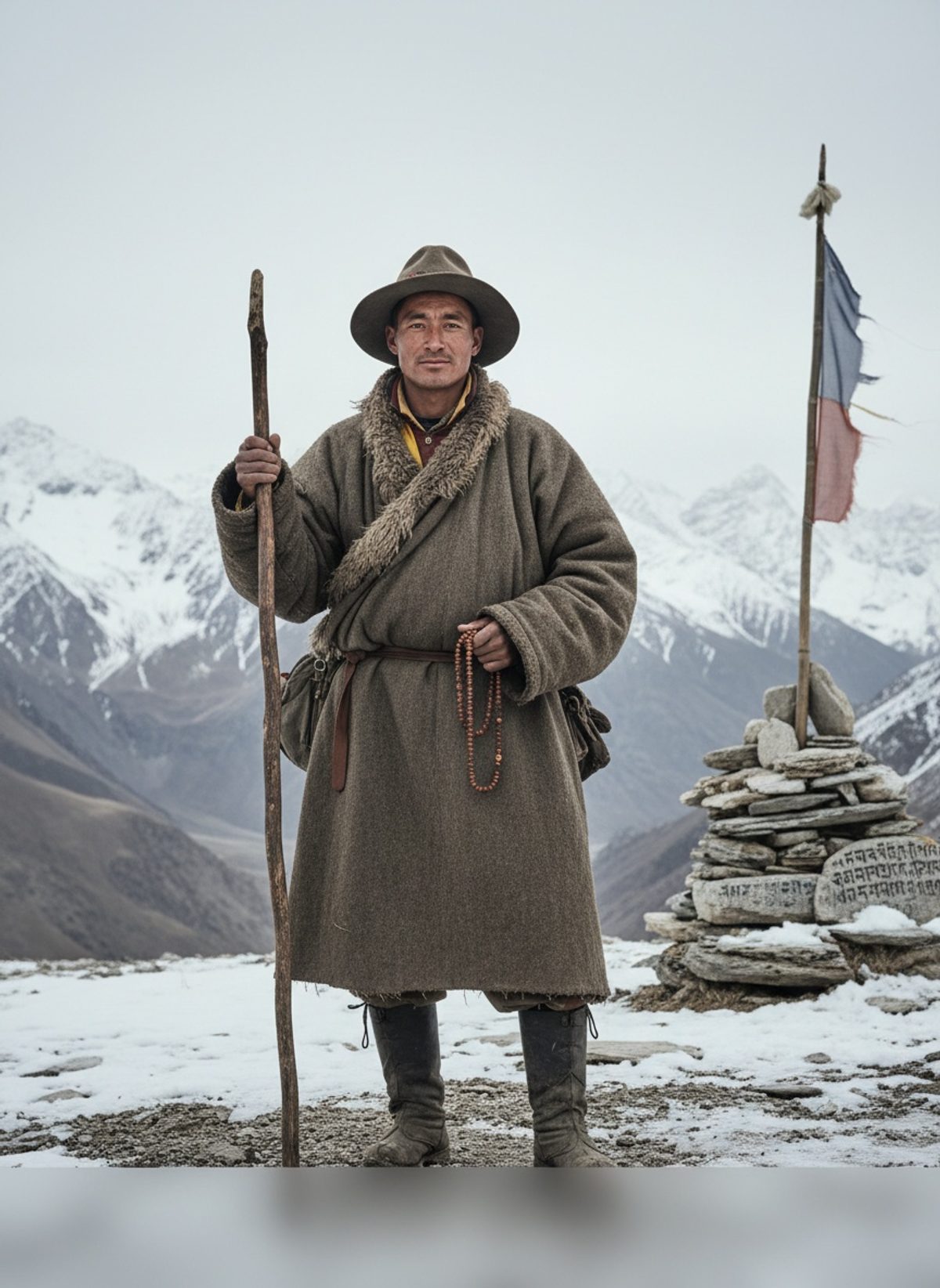
Nain Singh's journey, which began in 1865, required him to shed the skin of an outsider and adopt the guise of a devout pilgrim. Disguised in the traditional robes of a Buddhist pilgrim, Singh blended into the endless stream of foot travelers that crisscrossed the secluded pathways and high mountain passes of Tibet. His pilgrimage was not of spiritual enlightenment, but of clandestine cartography.
Read next: When George Sheppard Gave His Fortune to Strangers, 1923
With prayer beads concealing a compass, every rotation of his thumb over them marked a specific distance, allowing him to tally every step into miles traversed. A hollow walking staff carried a secret thermometer, guarding its fragile glass from prying eyes and the harsh elements that danced ceaselessly across the Tibetan plateau. Through inhospitable deserts and snow-draped mountain passes, Singh quietly mapped this forbidden land, adding tangible lines to what had been rendered in wisps of speculation on European charts.
As Singh journeyed over 1,200 miles of treacherous terrain, his observations were both mundane and monumental, each step taken with the weight of history pressing down. His journey required unprecedented endurance, a balance of survival and secrecy, intimate knowledge of local customs, and above all, unwavering faith in his training.
Hidden Maps, Silent Victories
Across the inhospitable sides of mountain ranges and through villages nestled under the shadow of ancient monasteries, Nain Singh remained an anonymous shadow. His was a world where silent steps spoke louder than the loudest fervor, each movement measured against the resistance of nature and the watchful eyes of Tibet's guardians. A world where to be caught with maps or instruments meant certain peril, Singh’s survival and success banked on the art of invisibility.
The data Singh gathered with such painstaking precision was unlike any gathered before. Despite Tibet's fierce commitment to secrecy, Singh's careful observations penetrated its mysteries, documenting critical geographic details such as the longitude and latitude of the holy city of Lhasa, its altitude, and the course of the Brahmaputra River, which had until then eluded the most seasoned explorers. His methodical means of counting steps combined with indigenous instruments laid the foundation for a revolution in geographical and political power in Asia.
The Long Shadow He Cast
Upon returning, Nain Singh’s findings poured a cascade of clarity onto the fog of speculation that had long perpetuated myths regarding the roof of the world. Back at the Survey of India, Colonel Montgomerie overlayed the results of Singh's odyssey with the precision of a master craftsman adding a crucial piece to a grand puzzle. Cartography’s lines were forever redrawn, expanding horizons in a world ever hungry for frontiers.
What Montgomerie and Singh achieved together was not merely the rewriting of a map, but a reimagining of empire itself. Nain Singh’s journey, clandestine and courageous, was not just a feat of exploration, but a profound exercise in diplomacy and intellect—an example of knowledge gained not through domination but through empathy, understanding, and adaptation.
Today, in an age where satellite imagery maps the planet within minutes, it's easy to forget the painstaking efforts woven into the fabric of our modern maps. Yet, the incredible story of how a schoolteacher turned spy shaped the geographical understanding of his era continues to resonate. It underscores the notion that discovery is not always about conquering new worlds, but sometimes about walking quietly into them, finding a way to belong, and in that belonging, to learn the secrets they so willingly whisper.