George Everest never climbed the mountain that bears his name. But he might be the reason we even know how tall it is.
In the mid-19th century, the Victorian Empire was embarked on a seemingly impossible project. British surveyors were picking their way across the Indian subcontinent, measuring distances and altitudes with painstaking precision. It was a grueling task, undertaken in the searing sun and unforgiving terrain of India. These men were part of the Great Trigonometrical Survey, a monumental endeavor to map the region with unfathomable exactness. A project that would culminate in unveiling the "Roof of the World." The calculations were conducted under the watchful eyes of men like Sir George Everest, and it was Andrew Waugh, Everest's successor as Surveyor General of India, who would eventually lift the veil on what is now known as Mount Everest.
In 1856, Waugh faced a staggering array of numbers. Surveyors had gathered these readings from six separate stations situated across the Indian plains, where the expansive flatlands gave way to the distant silhouette of the Himalayan range. Their tools ranged from theodolites to chains and sextants, devices that depended more on human skill than advanced technology. Standing at these remote outposts, the surveyors would have watched the glint of sunlight on snow-capped peaks, a chilling reminder of the monumental task at hand. Amidst these ridges and valleys, a mountain without a name cast its shadow. At a towering height of 29,002 feet, it eclipsed everything else on the planet.
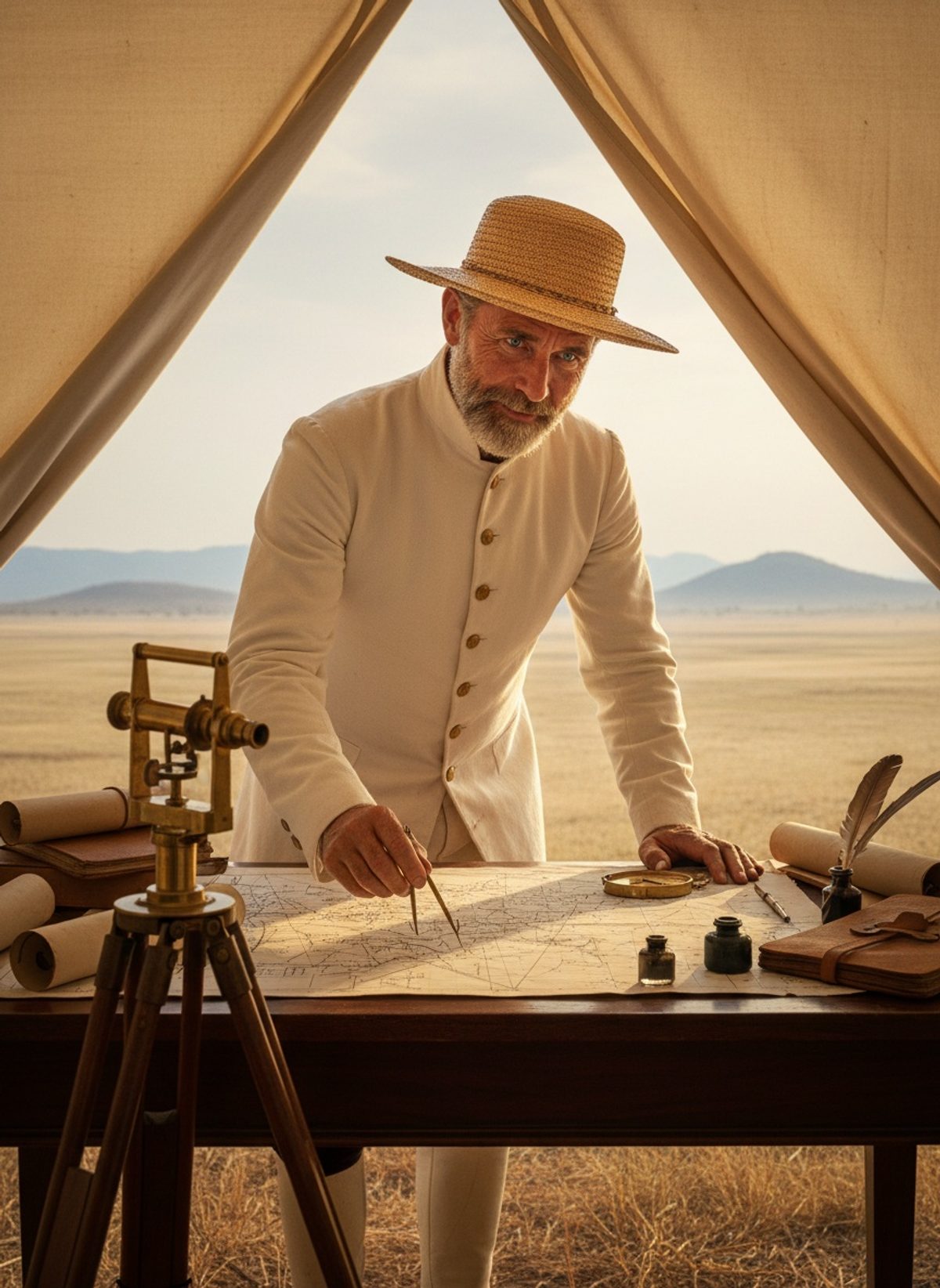
While Andrew Waugh is often credited with laying the final stone of this discovery, it was George Everest who meticulously crafted the foundation. During his tenure, Everest had revolutionized surveying techniques, implementing a level of detail and rigor that was groundbreaking for the time. Trained in mathematics and astronomy, Everest approached the land as an elaborate puzzle to be solved, one triangle at a time. He and his team laid a series of ‘bases’ across the territory, intricate webs of measured lines that stretched from the southern tip of India to the base of the Himalayas. Everest's grid enabled later surveyors, like Waugh, to overlay their localized measurements with the grand tapestry of the Empire.
Read next: When Frederick Selous Walked Into the Zambezi Alone, 1871
The sheer scope of this undertaking is difficult to fathom today. Laden with heavy equipment and battling diseases such as malaria, dysentery, and sunstroke, the survey teams systematically advanced across hostile landscapes. At night, as they scribbled their observations by lantern light, they transformed inhospitable expanses into cartographic realities. Each calculated angle and triangulated point unveiled another minuscule patch of the Earth's surface, marrying the art of mapping with the science of mathematics. The surveyors became pioneers, not unlike the explorers who charted the oceans. And under Everest’s guidance, they brought method to the madness.
But who was George Everest, the man Waugh chose to honor when christening the tallest mountain on Earth? Born in 1790 in Wales, Everest's journey took him to India in 1818. Initially, he worked under the legendary Colonel William Lambton on the Trigonometrical Survey. When Lambton passed, Everest inherited the mantle, and his vision expanded the project’s scope. His dedication to precision is the stuff of legend; it’s said he would re-measure a distance until the smallest discrepancy was resolved. These rigorous standards would become the benchmark for future surveys, including those that scaled the peaks of the Himalayas.
When Waugh computed the numbers from the six stations, he knew the world was about to change. Word of a mountain that stood taller than any known before was a revelation. Up to that point, Kangchenjunga was presumed to be the highest at around 28,169 feet, but Waugh had evidence of something greater. Yet with this revelation came a quirk of colonial history. While naming a mountain is commonly left to those who first reach its summit, the British were guided by convention and precedence. Thus, Andrew Waugh decided that this unnamed peak would bear the name of the man whose visionary work had made this historic measure possible—George Everest.
This seemingly mundane act of assigning a name was significant. It was a testament to the interconnectedness of human endeavor. While Everest had never glimpsed the dazzling snow-clad peaks of ‘his’ mountain, his legacy was now intertwined with it, symbolizing the triumph of human curiosity and determination over nature's mysteries. Naming a mountain might appear simple, yet it immortalizes the intricate web of effort that brought unseen heights into the fold of human knowledge.
For the British Empire, the surveying of India was not merely about gleaning precise detail but also asserted control over its dominions. It was a project of both practical and imperial significance, painting a comprehensive picture of the land it governed. For the people of India, and for history, the Survey remains an astonishing feat of endurance and precision, achieved with rudimentary equipment and sheer human will.
The story of Everest's naming is emblematic of a broader narrative, one where human curiosity meets scientific rigor. It serves as a reminder of the enduring quest to unveil the unknown, to transcend horizons both physical and intellectual. As a cornerstone of the Great Trigonometrical Survey, Everest’s role goes beyond a mere name etched on maps—it traces a path forged by many others who crafted the scaffolding upon which modern geography is built. When we ponder why a Welshman's name graces the world's highest summit, it's a nod to the countless surveyors who stood in the scorching Indian sun, their contributions stitched seamlessly into the fabric of cartography.