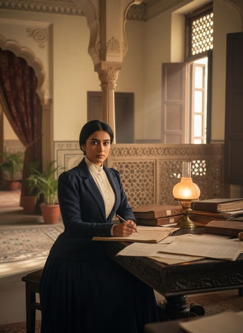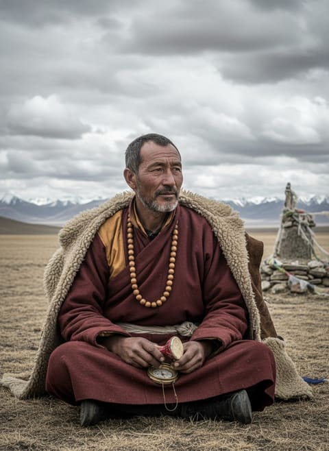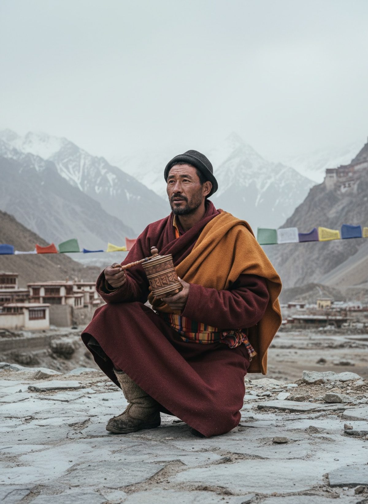
The prayer wheel hummed softly, almost trying to disguise the clandestine secrets it held within its spinning, lacquered exterior. Nain Singh Rawat's fingers deftly moved over each bead of his rosary as his lips silently formed the mantras. Inside, hidden from both human and divine scrutiny, a meticulously concealed compass captured a terrain undisclosed to the outside world. As purity rituals echoed across the cold, Lhasa's streets veiled in unspeakable mystery, Nain Singh, the Indian schoolteacher turned spy, unassumingly stood amidst the holy humdrum as a messenger of maps.
The Cartographer's Canvas: A Hidden Kingdom
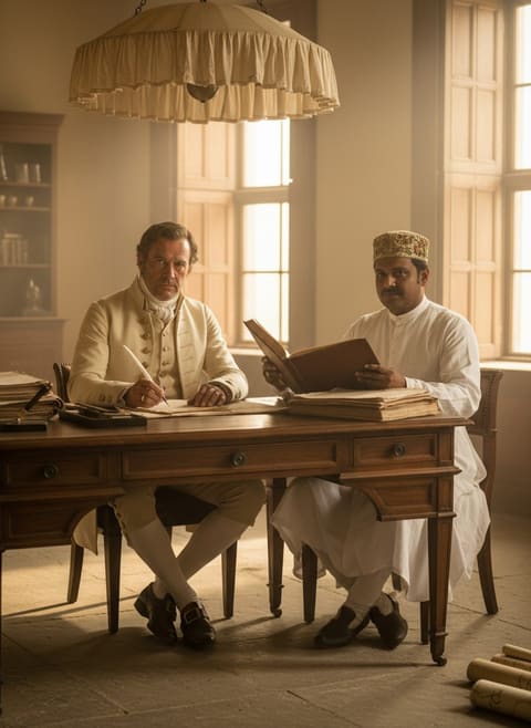
Tibet in the 19th century was a realm shrouded from foreign eyes. Its geographical mysteries were a profound challenge for the British Empire, eager to expand the intricate web of its colonial cartography. In an era marked by territorial ambition, Britain wanted to extend its dominion across the uncharted lands that bordered its prized colony, India. No European as yet had successfully peered beyond Tibet's mountainous jigsaw, a kingdom fiercely locked by cultural and political barriers. But the British, adept at leveraging local knowledge, found in Nain Singh the eyes and feet that would trespass where none had before.
Born in 1830 to Lata Burha, in the high-altitude village of Milam nestled in the Johar Valley of Kumaon, then part of the British Raj, Nain Singh was familiar with the inclement passes and icy paths of the Himalayas. The son of a trader and member of the powerful Rawat family, Nain Singh absorbed the oral maps of the Bhotia traders, who journeyed the routes between India and Tibet. It was a life balanced on the margins of borders, at ease with both remote solitudes and bustling trade marts. These qualities marked him for a different kind of journey—one that would change the course of history.
The Art of Discretion: A Secret Mission
Nain Singh's reputation as a keen observer reached the ears of the British. Trained in clandestine surveying techniques, Singh and a group of Indian explorers were dubbed "Pundits" for their specialized skill in exploration. From the intricacies of measuring each day's travel by the precise counting of paces—estimated to be up to 36 per minute—to using the innate star compass hidden in the prayer wheel, Singh adopted a secret lexicon that even the most thorough checkpoint inspections would overlook.
Read next: When Surgeon Reade Operated by Lantern Light at Lucknow
The mission required him to navigate a landscape rife with suspicion and intrigue. With every step—each counted faithfully, precisely—Nain Singh charted the unseeable with his feet while his prayers sought divine guidance. Over the course of this monumental task, he calculated an astonishing total of 3,160,000 paces covering a distance of 1,580 miles—a triumph of colonial espionage concealed within the rhythm of prayer and tradition.
Into the Forbidden City: The Heart of Lhasa
By 1866, Nain Singh had reached Lhasa, the coveted city at the heart of the Tibetan world. Once past its gates, a vibrant mélange of sounds—chanting monks, bustling market life, the clatter of mule trade tracks underfoot—enveloped him. The city, nestled amongst the sacred hills, appeared otherworldly, a timeless entity in the perpetual vigil of its religion and royalty. Here, amid the chanting temples and incense-swirled air, Singh clandestinely recorded vital geographical data, from altitudes measured using barometric principles hidden in his watertight but non-descript cylinder, to calculations of latitudinal coordinates that grounded this holy city on the British maps.
Nain Singh's integration was complete. He disguised himself as a Tibetan monk, immersing in native customs to render his presence innocuous. His surveys included detailed observations of Lhasa's architecture, streets, and monasteries, coupled with rigorous astronomical calculations processed away from prying eyes under the Tibetan night sky. The most breathtaking revelation was his accurate computation of Lhasa’s altitude and longitude—figures unseen and perilously acquired, but invaluable in redrawing the geographical outlines of Asia.
Read next: When Hodson's Spy Walked Into Lahore Alone, 1848
The Return Voyage: Maps over Mountains
Retracing his steps through the treacherous landscapes, Nain Singh returned to India's more familiar foothills, loaded with a trove of unparalleled geographic insight. His meticulous logs not only affirmed the detailed geography of the Himalayas and greater Tibet but also included vital ethnographic details and trade route catalogues. Recognizing Singh's strategic contributions, the Royal Geographical Society honored him with an award that acknowledged his groundbreaking work. Explorers and geographers lauded the semi-anonymous agent whose stride had possibly reformed the British approach to internal expansion.
Back in India, Nain Singh resumed a seemingly simple life yet retained an unspoken legacy of the monumental surveys coded under “Number 9.” Visions of archaic lands lay etched in memory and paper alike, their secrecy only complementing his humane skill and silent dedication. His narratives would become cornerstones in Himalayan exploration, adopted decades later by other explorers venturing into these landscapes as much for diplomatic discourse as for discovery.
The Spy Walked in Prayer
In the silent cadence of his measured steps, Nain Singh bridged an invisible chasm between worlds. His journey was more than a footnote in the great game of imperial cartography—it was a testament of remarkable human endeavor that brought a nation's political intrigue face-to-face with geography's cold, unyielding truth. The warmth of prayer wheels shielding hidden compasses casts a vivid connection between a man's spirit and his mission, revealing the profound interconnectedness of cultural empathy and geopolitical curiosity. Today, his achievements highlight the colonial era's understated but crucial contributions by indigenous figures—resounding lessons of silent courage, dedication, and the indelible footprint left on history's turning pages.