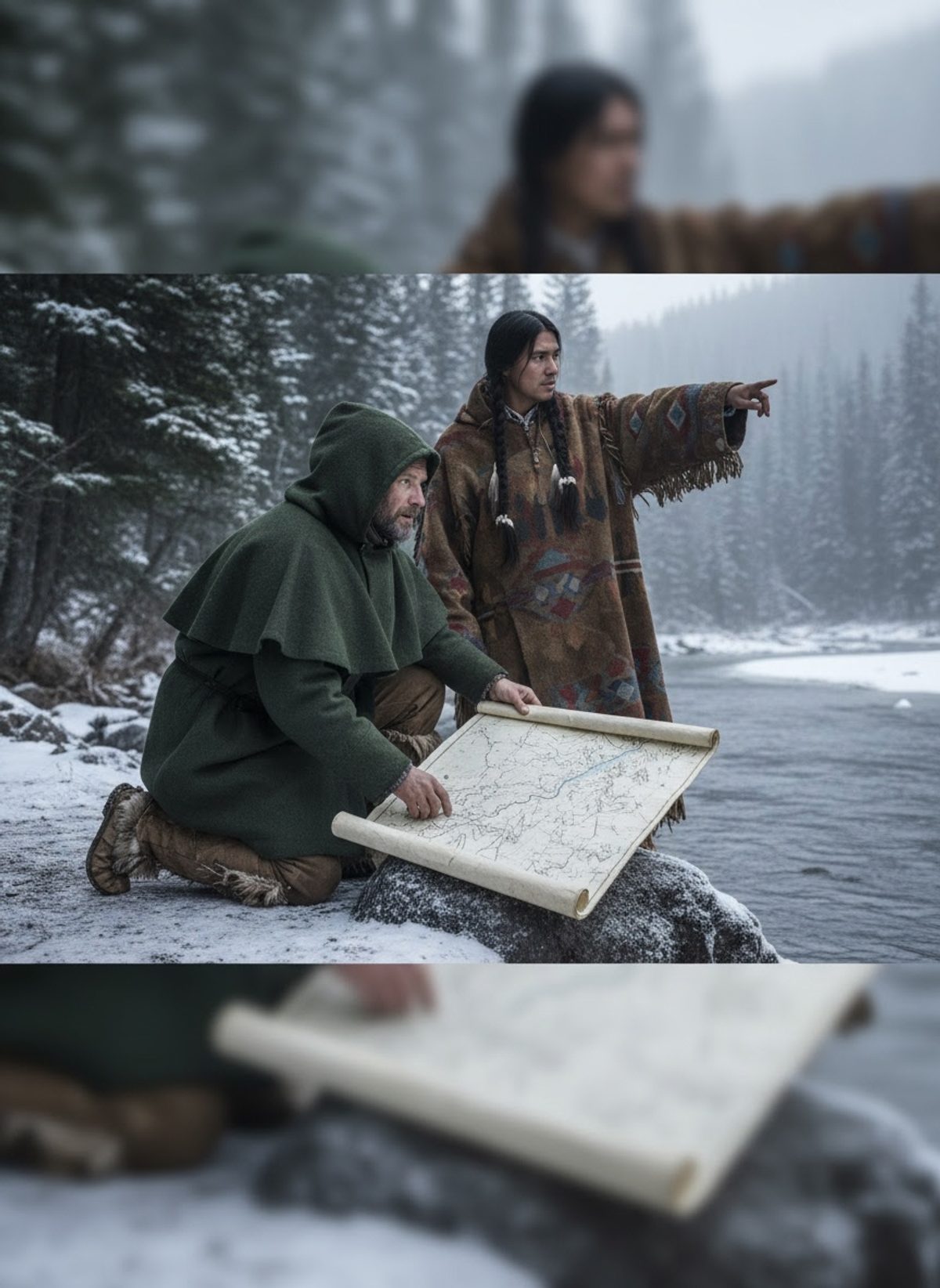
The crunch of snow echoed beneath his boots as David Thompson breached the ridge of the Rocky Mountains. Immense landscapes unfurled before him, cloaked in winter's white shroud, obscure yet full of whispered promises. With each step into the untouched expanse of North America's northern wilderness, Thompson etched his legacy not only in the snow but in the annals of history — a legacy of cartographical brilliance that would outlast him by more than a century.
More than Maps: An Expedition into the Unknown
The year was 1807, and for nearly two decades, Thompson had traversed the wilderness with a tenacity paralleled by few. Unlike many explorers of his time, he was driven not by the allure of fame but by the thrill of discovery and a profound respect for the land. Over the course of his career, Thompson walked an astonishing 90,000 kilometers, mapping 2 million square miles — shaping our understanding of North America's geography.
Thompson's journey began when he joined the Hudson's Bay Company at the age of 14, eager to see lands unseen by European eyes. His passion for exploration was matched only by his intellect; he mastered surveying, earning him a position with the North West Company, the rival of his initial employers. There, he embarked on a mission to chart the company's fur trading routes — a task that would consume much of his life.
Equipped with rudimentary tools by today's standards — a sextant and a few star charts — Thompson's skill yielded maps of exceptional precision. They defined the course of rivers and mapped territories connecting distant Indigenous tribes with European trading posts. It was a feat so remarkable that historians often muse on Thompson's gift as preternatural, blending Indigenous knowledge and his own methodical observation.
Read next: Walter Wetzel Put a Blackfeet Chief's Face on an NFL Helmet in 1972
The Indigenous Guides: Partners in Exploration
Thompson's success was not a solitary achievement. His companions on these treks often included Indigenous guides and trappers who understood the land intimately. Thompson recognized this expertise, forming what could now be considered genuine partnerships. He learned not simply to observe geography but to read the land through Indigenous eyes — gaining insights into weather patterns, navigational markers, and sustainable travel.
Among his many companions, the Cree and Ktunaxa peoples stand out, sharing their intricate knowledge of the prairies and mountain passes. Thompson documented their trails, and in doing so, built a bridge between worlds — one long before marked by disconnect. His respect for their cultures went beyond the utilitarian; he understood their land stewardship long before ecological conservation became contemporary discourse.
It was these collaborations that lent unprecedented accuracy to his maps. Thompson's work not only facilitated the fur trade but also laid the groundwork for future settlers' safe passage, ultimately influencing the expansion of the Canadian and American frontiers.
An Unsung Legend Compared to Famous Peers
While the likes of Lewis and Clark are celebrated with statues and school textbooks, Thompson's legacy is a quieter one. They were his contemporaries, journeying from 1804 to 1806, but their story found resonance quickly in the American public's eye. Part of this acclaim stemmed from their expedition being a national undertaking, whereas Thompson's maps were created under the banner of commerce and enterprise, quietly serving their purpose rather than arousing public fanfare.
Though Thompson's work went uncelebrated compared to the pageantry surrounding his peers, its utility was undeniable. His maps remained in official use well into the 20th century, a testament to their unparalleled accuracy. In a time when mapmaking was an art punctuated by peril, Thompson set a standard that would guide generations.
Read next: Chien-Shiung Wu Disproved a Nobel-Winning Law With One Experiment
In comparison, Thompson's life reads almost like an inscription in a hidden tome, significant but shielded from the world’s glare. He remained enamored with exploration, not conquest; his maps were guides, not trophies. Unlike the American Corps of Discovery, Thompson's fame was tempered by humility in service to the land and people he knew so intimately.
The Enduring Importance of Thompson's Mapwork
David Thompson's maps were more than mere tools for traders; they were threads stitching together the fabric of North America. He saw the land as a living entity, and through his eye for detail and integrative approach, he charted more than geography — he mapped a relationship and respect that transcended his era.
His work offers a mirror to modern aspirations, a poignant reminder of the value of partnership across cultures. In uniting Indigenous wisdom with European methods, Thompson's maps arose from collaboration and innovation. They were ahead of their time not just in precision but as markers of unity over division, a lesson modern cartographers and leaders would do well to heed.
Even today, as satellite imaging redefines our world, the story of David Thompson stands vivid, a testament to human curiosity complemented by respect and understanding. His journeys remind us that history’s heroic endeavors often lie in quiet achievements, stitched together by those who walked paths untrodden, armed not with accolades but with an insatiable desire to learn.