Most people assume Britain's imperial reach was boundless. Its influence, however, found a stark boundary: the shore. For all its grandeur, the empire's power crumbled on landlocked horizons.
The Ocean's Limit
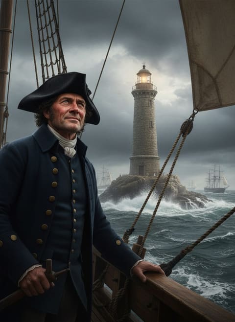
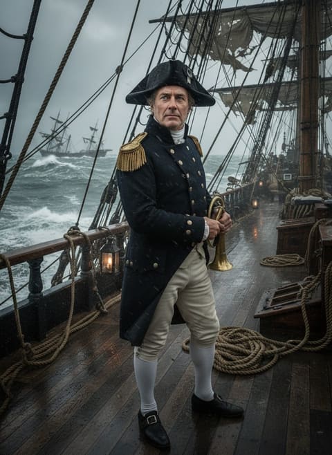
Known as the "empire on which the sun never sets," Britain left its mark worldwide, colonizing or influencing territories across continents. Yet, curiously, its reach halted at a watery line. The Royal Navy, the empire’s steely tentacles, dictated its dominion.
Mastering the seas opened gateways to riches, but no navy could help conquer the peaks of Bolivia or the steppes of Mongolia. British expansionism faced landlocks like a gull facing a mountain — majestic in the air but earthbound when the sea disappeared.
Britain’s seafaring supremacy began in the Georgian era, stretching towards modern times. Coastal cities like Cape Town, Calcutta, and Hong Kong bear witness as outposts where commerce and the Union Jack unfurled in the saline breeze. Yet inland, a different tale unfolded. With no coastline to leverage, Britain’s influence waned. Troops and traders followed river routes, but neither the mighty Thames nor the bustling Tyne could reach the citadels of the untouched 22.
Read next: The Two Ships That Sailed to End What Britain Had Built
Guardians of the Heartland
For the 22 landlocked nations standing impervious to British reach, geography crafted a natural fortress. In Central Europe, Luxembourg nestled between larger powers, diverting imperial attention. Here, lush valleys and forested slopes overlooked lands where indigenous sovereignty endured unchallenged. Although Europe's tapestry was often redrawn, Luxembourg stood steadfast, its tranquillity preserved amidst the continent's tides of war.
In South America, Bolivia’s breathtaking altiplano stood impenetrable. Here, lofty altitudes replaced oceanic gateways. With Spain firmly entrenched and formidable peaks warding off invaders, Britain’s armada sailed past, merely kissing the coastline elsewhere. In Asia, Mongolia’s vast deserts functioned as a buffer against British expansion. The steppes, untouched by maritime ambition, offered no harbors for naval power, but instead, eagles soared where imperial banners did not.
A Cartographer's Mystery
The paradox of proximity defined the British Empire. The reach of tide and map rarely matched. For Britain, legacy interspliced geography and politics. In Africa, where vast inland kingdoms like Rwanda and Burundi faced European encroachment, British seams never sewed their borders. With European treaties slicing the continent wide, landlocked nations occasionally found themselves under Belgian or French influence instead.
Read next: The Night a British Sailor Talked a Mutinous Fleet Back to Port
The lines on the map betrayed the reality: Britain wielded power by sea, its cartographic conquest halted by boundaries crafted more by terrain than treaty. In intriguing symmetry, few islands escaped empire, yet landlocked nations often lay beyond its grasp. While ships bore gunpowder and gold, rivers and roads often slipped into rival hands or folded into the labyrinthine politics of other empires — the Ottomans, Austro-Hungarians, or Qing.
Echoes Beyond The Shore
Why, you might wonder, did these 22 resist when others succumbed? Perhaps sheer distance buffered these bastions, resilient in remoteness. Or maybe an interplay of alliance and antagonism emerged, a dance where local and imperial interests rarely aligned for inland annexation.
Consider how their histories unfolded. Heed their stories, where absence reveals presence. Beyond simply listing losses in imperial logs, these nations reflect the folly and fortune woven into empire’s loom. They highlight how maritime mightn't shape all fates. In disobedience of easy conquest narratives, 22 names appear as ghostly mementos to questions as essential as conquest itself. Within those spaces beyond the shoreline, a world brimming with possibilities and untouched by foreign dictates sends ripples that stretch even into modernity.