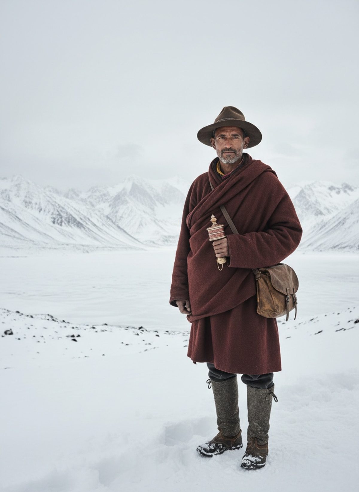
The rhythmic scuff of footsteps echoed against the Himalayan slopes as Nain Singh Rawat counted each careful pace, the steady click of his disguised rosary beads hidden within a prayer wheel marking every step. The icy wind bit into his cheeks, stinging and relentless, yet each bead passed through his fingers felt like another secret gained, another piece of an unknown land uncovered. Higher and higher he climbed, through winding mountain paths laden with deceptive snowdrifts threatening to swallow him whole. With each footfall, he moved deeper into the uncharted heart of Tibet — a forbidden land to outsiders, yet in just a few days it would open its secrets to him. Tibet’s capital, Lhasa, lay ahead, its location a truth soon to be inked onto Western maps, thanks to a man its leaders would never know had passed through.
What brought Nain Singh, a modest schoolteacher from the Johar Valley, to this perilous journey was a blend of opportunity and necessity. The British Empire, infamous for its insatiable thirst for dominion and knowledge, had its eyes on the Himalayan realm that remained a stubborn enigma in 1865. While British surveyors were easily recognizable and barred entry, the native Kumaoni with his skill, resilience, and soft-spoken intelligence posed a perfect counterpoint to the Empire’s frustrations. Born in 1830 in the small village of Milam, Nain Singh was part of the Bhotia community, renowned traders and explorers of the harsh Himalayan terrains. From his father, Lata Burha, Nain acquired the traditional acumen of a trader, but it was his education and curiosity that set him apart — tools the Survey of India would soon find invaluable.
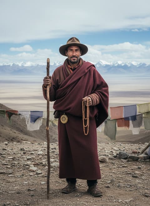
Cloaked in the identity of a monk — a disguise not merely sartorial but a strategic camouflage that allowed him to navigate the vast mountain could just as one of its native sons — Nain Singh undertook his most fabled expedition in 1865. That he did so armed with little more than a prayer wheel for a compass and a thermometer concealed in a walking stick was testament to his ingenuity and the high stakes at hand. His task appeared simple but was anything but: map the trade route of Ladakh through Tibet, determine the position and altitude of Lhasa, and trace the flow of the Brahmaputra — all while counting his paces and keeping a cloak of silence, never revealing his true mission.
The Bhotia lands where Singh hailed from were ruled by the Chand dynasty and later the Gorkhas, who were eventually defeated by the British in 1816. Yet, the region's realities, its natural secrecy and resilience, were defining assets in shaping Nain Singh's conservational lenses to see beyond the immediate, allowing the British surveyors to open Tibet without raising alarms. As Nain marked each hidden step on what would be a 1,580-mile journey, each counted meticulously to a total of 3,160,000 paces, the clandestine nature of his mission bore heavily on him. He would scribble notes on his map by candlelight in the safety of the monasteries or rest houses, his British liaisons mere shadows on the periphery of his journey's reach.
Read next: When Britain Seized an Island and Dared the World to Stop It
Nain’s route was one carved in trepidation and understated heroism, passing through the inhospitable lands of Tashilhunpo to Shigatse, and from the dark chapels nestled within Lhasa to the friendlier contours of Brahmaputra's banks. At an average walking speed, each turn and twist, each ride on a caravan, or trek over ice shelves deepened the Empire’s understanding, burning a path for future expeditions. His measurements were painstakingly accurate: he charted altitudes and gathered invaluable meteorological data while disguised as a pilgrim, layers of his own subdued identity cloaked beneath the robes of faith.
The Code Name Number 9 was the cipher behind which his findings lay. When Nain Singh reported back under this cryptic alias, his information unraveled mysteries about the Himalayas that had long-befuddled Britain’s outward gaze. Lhasa's true geographical coordinates and altitude, veiled behind the texts of ancient travelers, were discovered in his notes, ready to slot into maps scrawled in far-off British offices. Here was a map accurate to the shifts in plate tectonics, one that reached across a sea of untraceable invisible borders.
Read next: When Cornelia Sorabji Stood Before a Purdah Wall, 1904
As his family in the narrow valleys of Kumaon awaited scant word of his whereabouts, every fluctuation in altitude Nain Singh noted, every seemingly mundane word exchanged with a trader or monk, was marked with critical precision. These were strokes that painted the hidden landscape of a nation cloaked in myth and mystery for generations. The same might would soon reveal more Indian achievers, like Kishen Singh Rawat and later his son Sukhdev, inspired by Nain Singh's quiet excellence.
The dusty archives and bound pages of the Survey of India’s aging ledgers would eventually reveal their contents to the British Empire, mapping the bones of the world’s most celestial regions. Scholars and historians today may ponder the geopolitical intrigues of this intimate survey, but it was Nain Singh’s ability to meld—in actions and intellect—that rendered this mission diplomatically invulnerable. In 1877, London's Royal Geographical Society fittingly bestowed upon him a gold watch as a symbol of time well-spent, and timeless discoveries made.
Every step Nain Singh took was a conversation with history, written in the language of the devoted wanderer. Modern geopolitical tensions can still trace their truths here — the unexplored sediment of measured discoveries during an era of unyielding colonial ambition. As we look back, the story of Nain Singh is not only one of startling human endurance and unsung heroism, but also a quiet unraveling of geopolitical and personal boundaries, one step for each of his 3,160,000 pacings — a testament, perhaps, that the most profound frontiers to break are those not broached by force, but by silent resilience.