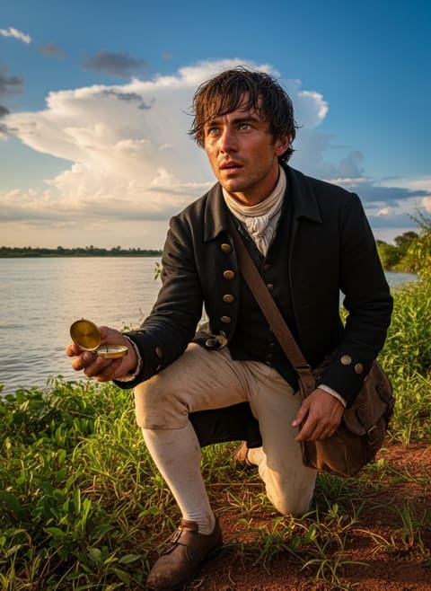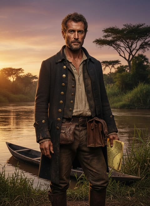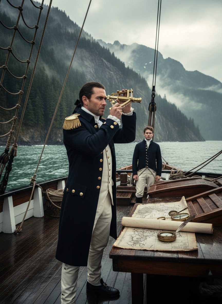
The ocean was a churning expanse of endless gray, dappled with whitecaps that pushed the HMS Discovery along its westward course. Sea spray misted George Vancouver's face as he stood on the quarterdeck, his eyes set on the distant silhouette of a fog-bound coastline. Here, at the precipice of the untamed Pacific Northwest, he was about to ink the final lines on Europe's map of the New World.
The Coal Miner's Son Who Became an Explorer
George Vancouver's story was unlikely from the start. Born in 1757 in Kings Lynn, Norfolk to a coal merchant, his connection to Britain's maritime legacy seemed distant at best. But the sea was calling. At just 15, the young lad joined the HMS Resolution under the command of the legendary Captain James Cook. Observing the ways of navigation and the discipline of discovery aboard Cook's ship was an education like no other. Though Cook fell to violence in the sands of Hawaii, his legacy persisted in the minds of his young crew. Vancouver's dreams were set: he would one day lead his own voyage into the Pacific's mysteries.
Command of His Own Destiny
By 1791, Vancouver's aspirations materialized as he was tasked with a voyage to the Pacific. The mission was monumental: to map the western coast of North America, putting to rest the persistent myth of the Northwest Passage—a supposed trade route linking the Atlantic with the Pacific Ocean, which had eluded explorers for centuries. In his command were the HMS Discovery and its escort, the HMS Chatham, packed with seasoned sailors and skilled surveyors. With these vessels, Vancouver set sail, ready to inscribe his name upon the world’s geography.
Charting the Mystic Coastlines
Sailing north along the rugged coasts of California, British Columbia, and Alaska, Vancouver and his men faced the full fury of the Pacific. They navigated labyrinthine archipelagos, uncharted straits, and menacing cliffs that threatened from the fog. Vancouver and his crew meticulously charted each bay and inlet, every craggy feature of the coast, delineating a shoreline of staggering complexity. Against the roar of the sea and the uncertainty of uncontacted First Nations peoples, whose lands they traversed, Vancouver's maps slowly unveiled the truth: no navigable Northwest Passage existed along this treacherous coast.
A Journal Etched in Salt
The monumental task unfolded day by day, with each observation and detail painstakingly recorded by hand. Vancouver's fastidious nature was both a blessing and a bane; every survey was marked by thoroughness bordering on perfectionism. By voyage’s end, his maps of the northwest coast of North America formed the most accurate and detailed rendering of the region for over a century. Vancouver's journal, filled with vivid descriptions of the lands he encountered and interactions with indigenous peoples, would serve as a primary source for future explorers and historians alike.
Read next: The Day a Devon Sailor Mapped the Roof of the World Alone
The Legacy Drawn in Waves
Returning to England in 1795, after a journey covering some 65,000 miles over three years, Vancouver delivered more than sketches of coastlines—he presented a resolution to one of exploration's most enduring enigmas. Although the Northwest Passage existed, it was not the navigable route envisioned by the seekers of wealth and glory. Vancouver's contribution was not in discovering a passage but in providing clarity and understanding to the flawed maps of the time.
In a world fevered with exploration, George Vancouver’s legacy lay not at the forefront of textbooks or the annals of fame. Instead, it resided in the humble yet profound act of completing a canvas that so many others had left unfinished. His charts closed a chapter on one of the ocean's oldest legends, yet opened a new realm of geographic and cultural understanding between worlds. The son of a coal miner had traced the Pacific's final unmapped shoreline, leaving a legacy of connection between two vast oceans and the countless lives that depend upon them.